N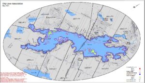 ew 2021 Map
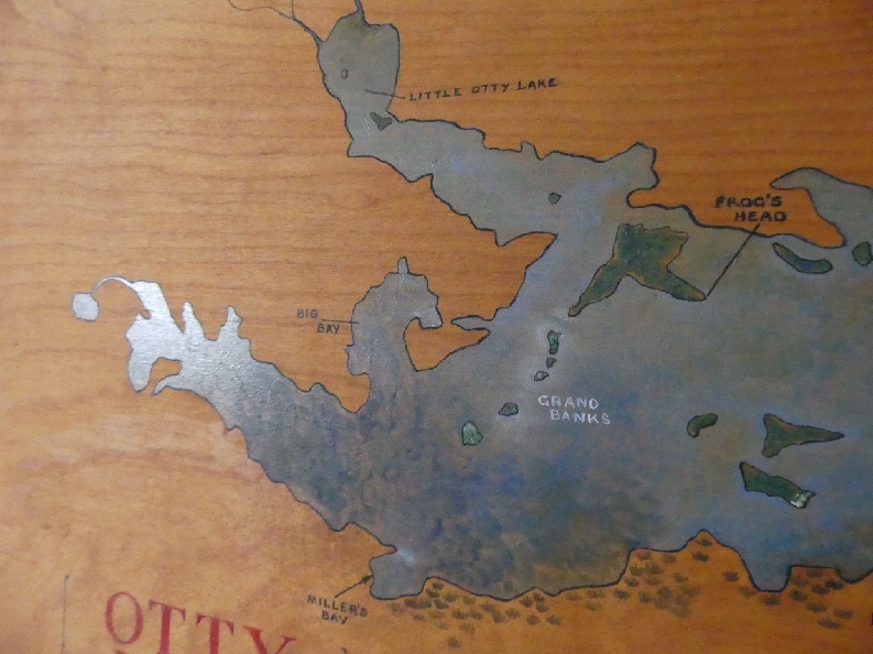
A new version of an Otty Lake Map was produced in 2021 for residents. This 18″ x 24″ map is essentially an update of the 2010 map, with island names included, shoals marked, and a 30 m zone noted, as well as a few other changes. Maps are being provided free of charge to paid up OLA members through the Lake Ambassadors. The cost for non-members, or for extra copies, is $5.00. Please contact Heidi McKean for a copy.
Click on the map at left to access a full PDF version.
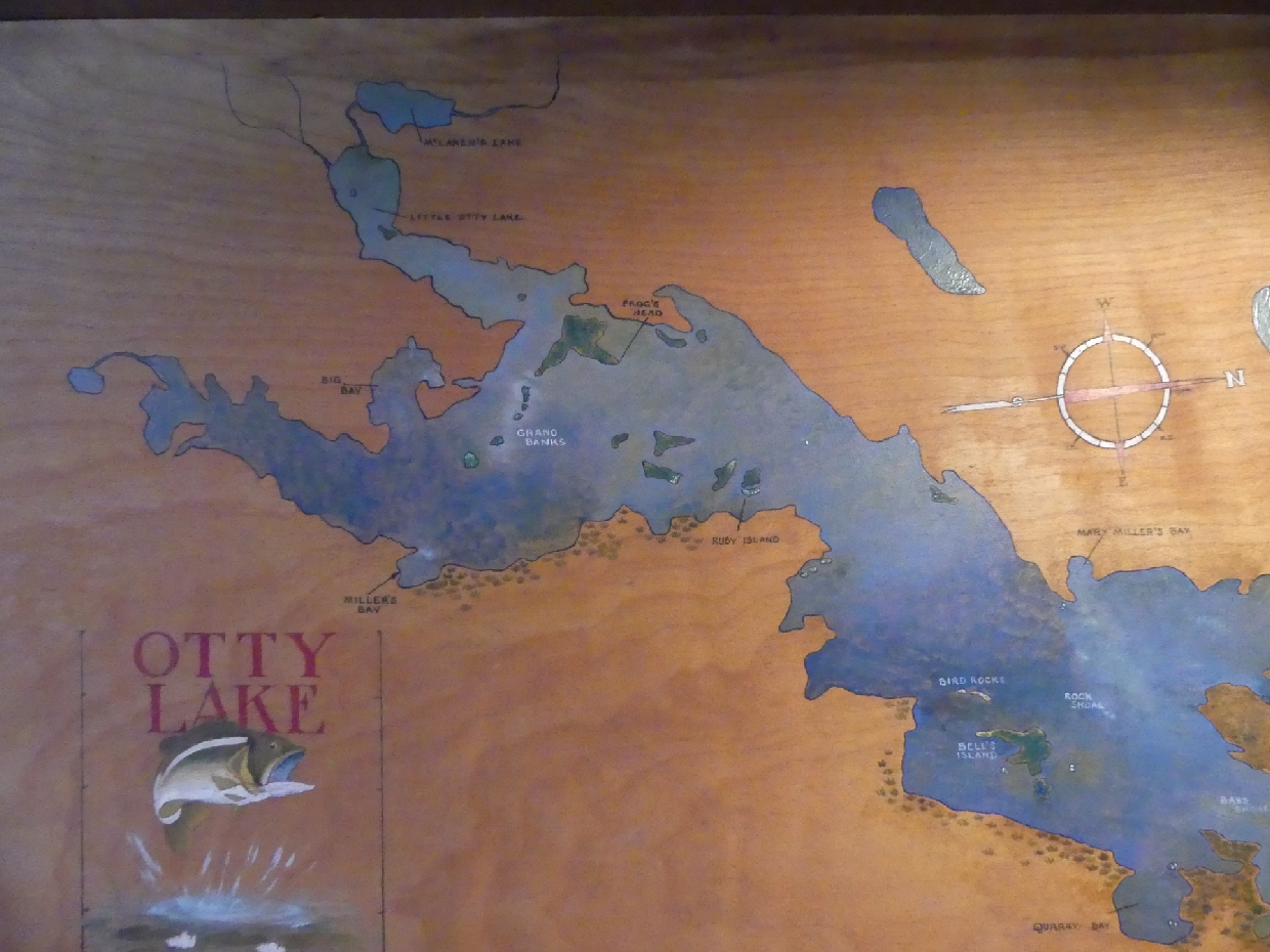
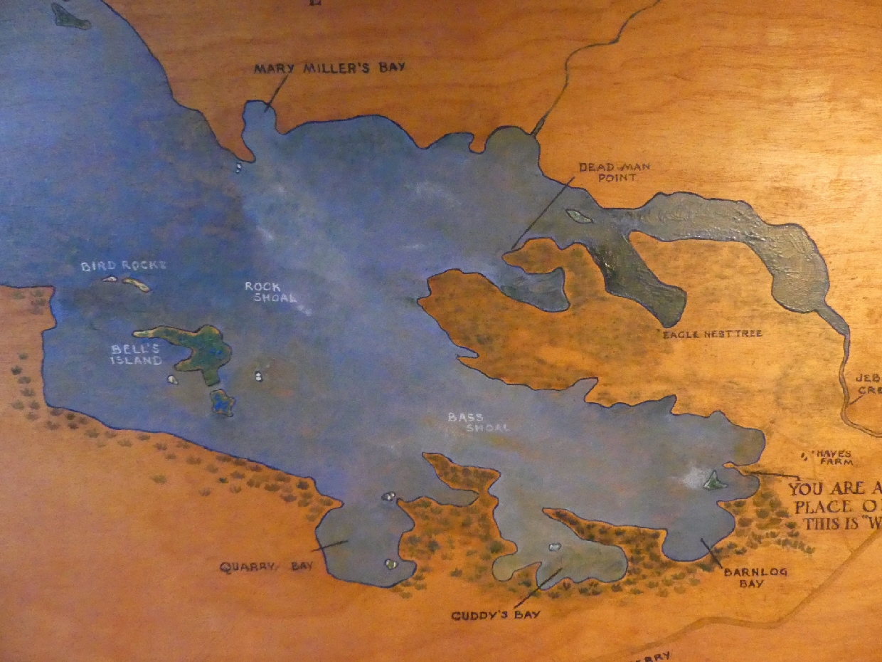
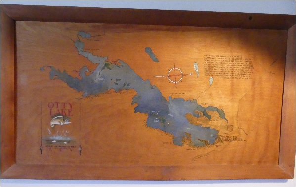
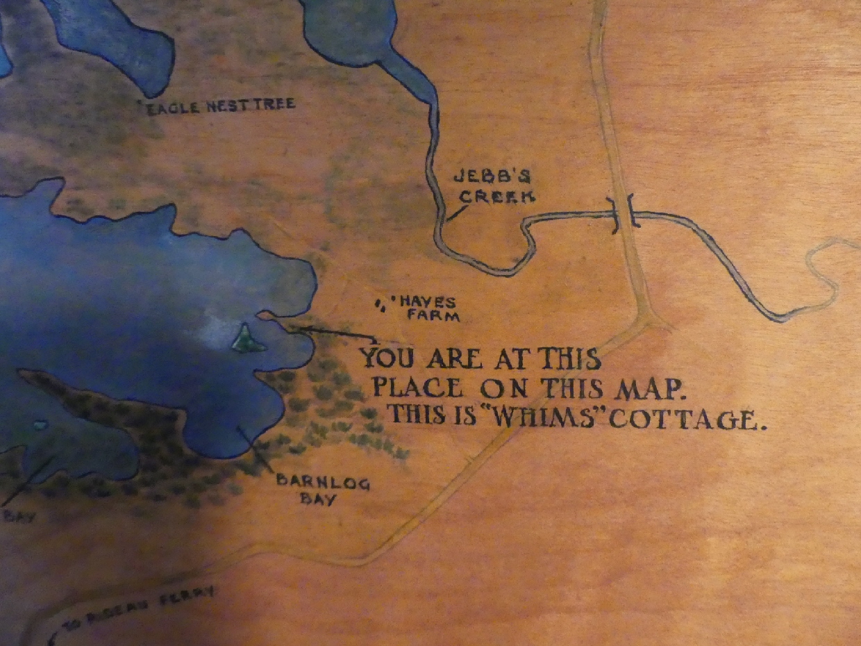
2008 La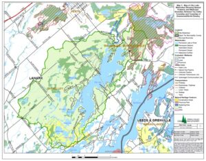 nd Use Map
The Otty Lake Association map created in 2008. Click to enlarge or view map in PDF.
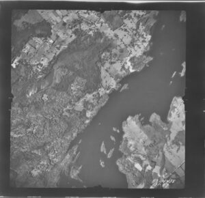
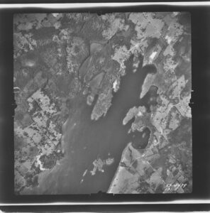
Aerial photos of the lake 1953 courtesy of the RVCA, from left to right: the south, middle and north ends of Otty. 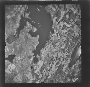
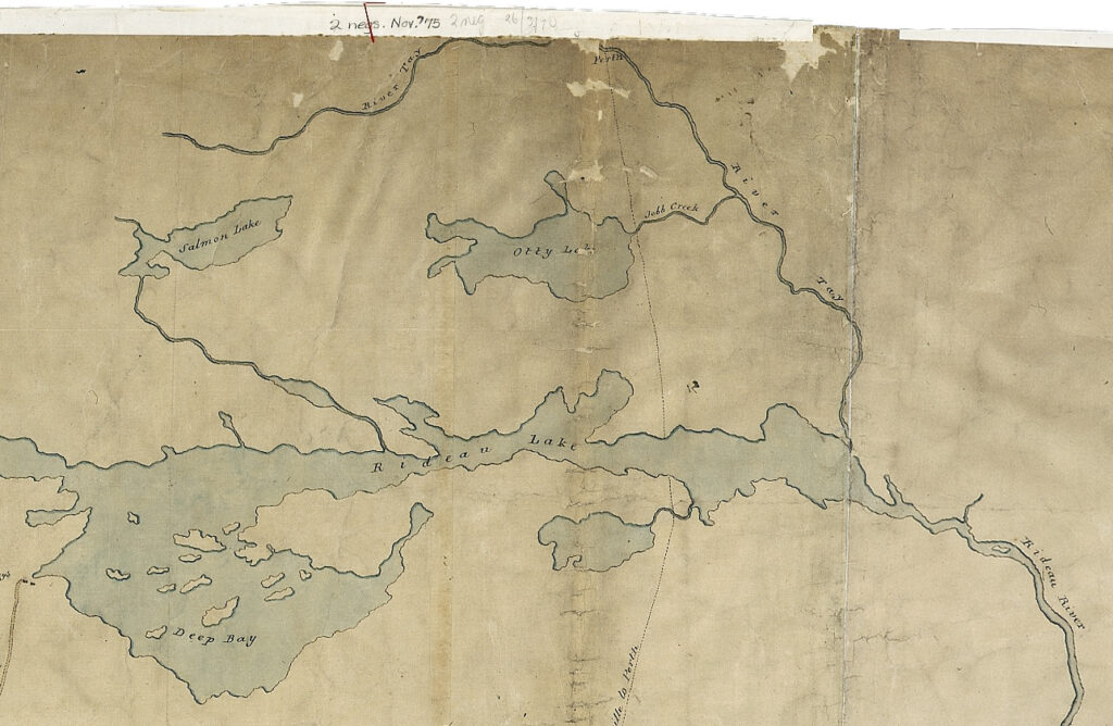
1816 Map
A section from “Plan of the Water Communication from Kingston to the Grand River” by Joshua Jebb, 1816, Library and Archives Canada, NMC 16814, ecopy n0016814k_a1.